Wildfires, drought and extreme heat, 2026
Satellite imagery plays a crucial role in monitoring and understanding the impacts of climate change on a global scale.
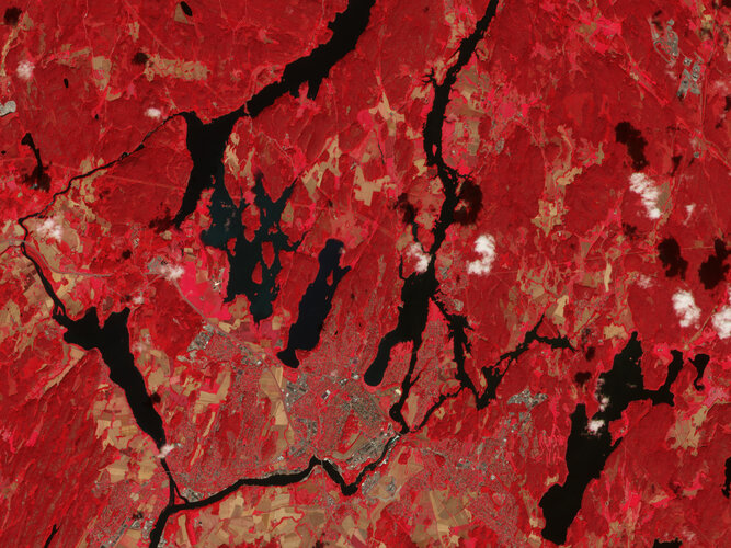
Earth observation satellites help us monitor phenomena such as wildfires, drought and heatwaves from space. This page is updated on a regular basis with a selection of ESA’s most recent news-related images showing how the effects of climate change are impacting our world.
Overseex summarises and files this story. The reporting itself belongs to ESA.
Keep up with what matters
One email a week with the stories worth your time.
Related coverage

National security doesn’t need more maps or imagery; it needs measurement
Accurate measurement capabilities are becoming increasingly important for national security in the modern era of space technology.

Astrolight, ATMOS Space Cargo eye first in-flight laser link between reentry vehicle, satellite
A successful demonstration would mark a significant milestone in the development of space-based laser communication systems.

Ground Control to Galileo Second Generation
The successful signal transmission marks a crucial step in the integration of the new satellite with the existing ground control system.