Nepal flash flood imaged by satellites
ESA31 Aug 20261 min read
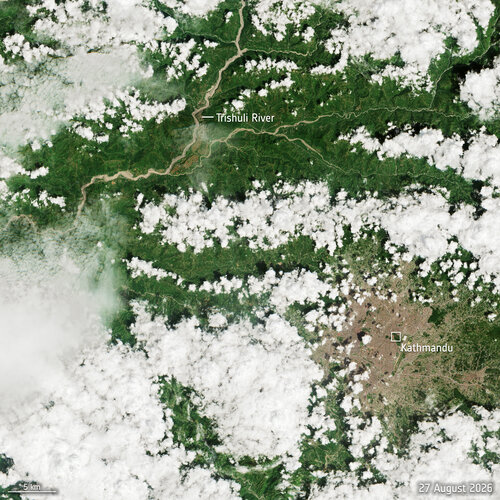
With thousands of emergency responders conducting search-and-rescue operations following the catastrophic flash flood that struck northern Nepal on 26 August, satellite imagery is helping to reveal the scale of the inundation and devastation across the affected region.
Continue at ESA
Overseex summarises and files this story. The reporting itself belongs to ESA.
Keep up with what matters
One email a week with the stories worth your time.
Related coverage


SES Awards OHB €1 billion for IRIS2 MEO Satellites
4h ago1 min read

Ariane 6 launch with MTG-I2 – highlights
3d ago1 min read