How 2 US, European Satellites Are Studying Hurricanes During El Niño
NASA9 Sept 20261 min read
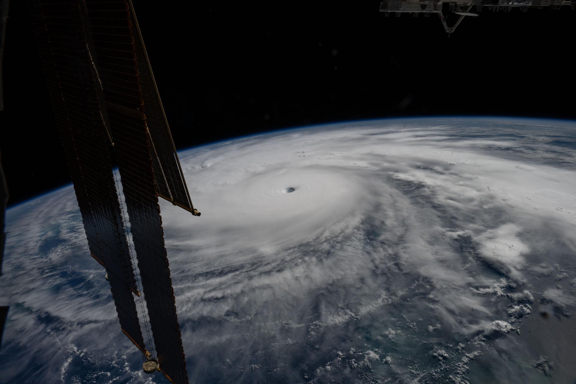
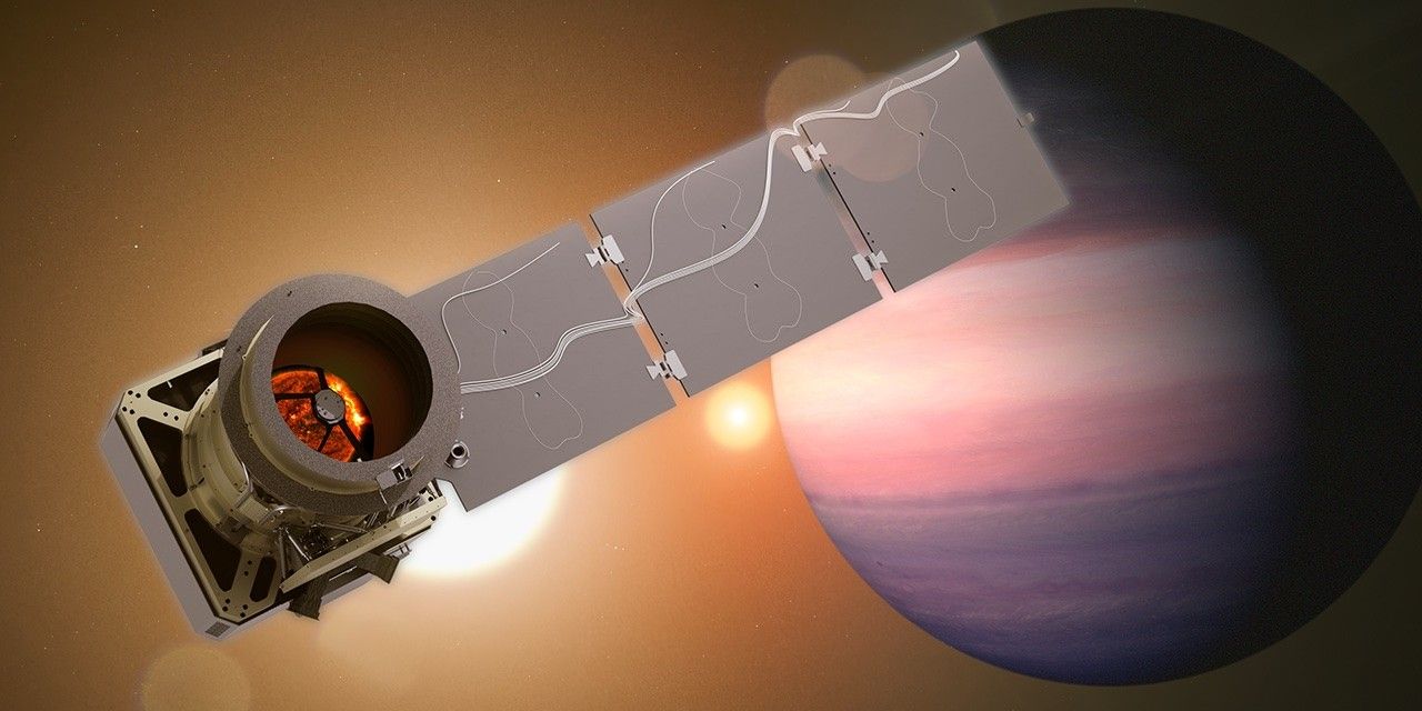
Last November, NASA and its European partners launched the Sentinel-6B satellite to improve hurricane forecasts, help protect infrastructure, and benefit commercial industries, including shipping. The satellite now is flying 30 seconds behind its predecessor, Sentinel-6 Michael Freilich. Both satellites are providing precise sea level height measurements during what oceanographers expect to be a historic El […]
Continue at NASA
Overseex summarises and files this story. The reporting itself belongs to NASA.
Keep up with what matters
One email a week with the stories worth your time.